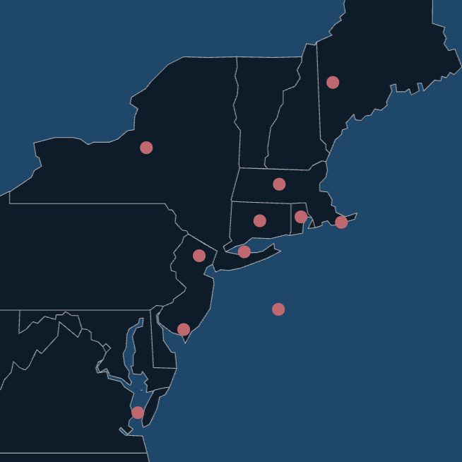

The colored areas in the above map represent the current offshore wind energy lease areas in southern New England. Contained within and immediately surrounding these lease areas are popular recreational fishing spots. If you fish these areas, please take this brief online survey to help researchers gauge how much fishing effort occurs within the wind energy lease areas.
Survey Link: Quantifying recreational fishing effort for HMS in southern New England during 2020 Survey (surveymonkey.com)
For a report on the results of a previous survey about fishing effort south of Martha’s Vineyard, click here.
I frequently fish the area north and west of the Dump on the chart.
The DWW project on coxes ledge is not flying straight. Turbine sittings are planned on critical fish habitat on the ledge itself. Very bad for the critical fish habitat located there. Well documented. Rhode
Island coastal resource management council has weighed in. Public comment period coming up in January on the fisheries issue. Very important to submit public comment.
Out of one face NOAA/NMFS professes that Atlantic Cod are critically endangered and out of the other face NOAA/NMFS is promoting this construction boondoggle ( 10 years of blasting) on critical cod habitat. This is the same organization that promoted Dale Jones for fraud and document shredding during . This is the same organization that allowed Carlos Rafael “codfather” to go undetected for decades.